


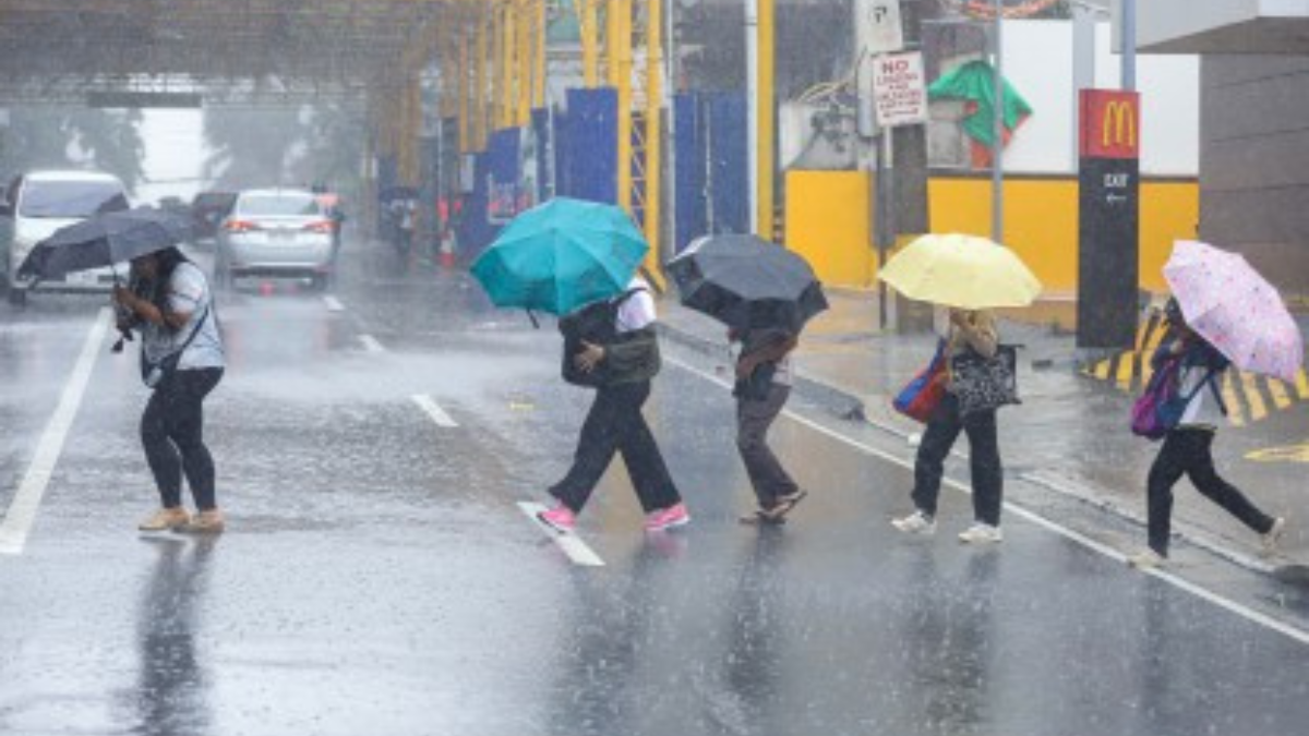


MANILA, Philippines — Work operations in government offices and classes at all levels within the National Capital Region (NCR) on Tuesday have been suspended due to continuous rainfall brought by severe tropical storm Carina, the Office of the President said.
According to Memorandum No. 57 signed by Executive Secretary Lucas Bersamin, the announcement is due to the continuous rainfall brought about by the Southwest Monsoon and Typhoon Carina. The suspension is effective at 2:00 p.m. today, July 23.
Meanwhile, agencies whose functions involve the delivery of basic and health services, preparedness/response to disasters and calamities, and/or the performance of other vital services shall continue with their operations, it said.
Bersamin likewise noted that it is up to each private company and office to decide whether to suspend work.
On Tuesday, the state weather bureau announced that the severe tropical storm Carina has slightly intensified as it continues to move north-northwestward.
In its 11 a.m. weather bulletin, PAGASA reported that the center of Typhoon Carina is located approximately 320 kilometers east of Basco, Batanes. The typhoon has maximum sustained winds of 140 km per hour near the center, with gusts reaching up to 170 km per hour.
PAGASA forecasts that “Carina” will continue moving northward at a speed of 15 kph and is expected to stay far from making landfall.
The state weather bureau has issued Tropical Cyclone Wind Signal No. 2 for several areas in Batanes, indicating that gale-force winds ranging from 62 to 88 kph are expected within the next 24 hours. The affected areas are:
– Itbayat
– Basco
– Mahatao
– Uyugan
– Ivana
Additionally, Signal No. 1 has been raised for parts of Luzon, with strong winds between 39 and 61 kph anticipated within the next 36 hours. The areas under this signal include:
– The rest of Batanes
– Cagayan, including Babuyan Islands
– Eastern portion of Isabela
– Northern portion of Ilocos Norte
– Northern portion of Aurora
– Northern portion of Catanduanes
The forecast indicates that Typhoon Carina will make landfall over northern Taiwan between Wednesday evening and Thursday morning, after which it will exit the Philippine Area of Responsibility (PAR).
PAGASA also said that “Carina” will steadily intensify and may reach its peak intensity just before making landfall in Taiwan.


